The coloured bars refer to the different units in the Manx Group shown on the Geological Map. The ranges of the bars indicate the proportion of sandstone and mudstone as well as the relative thicknesses of the beds in these rock units. Unit names and ages are shown in the key to the map. (mya = million years ago.)
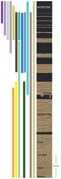 |
Key to colours on bars and map
|
|
Barrule and Glen Rushen units
481 and 477 mya |
|
Maughold unit
482 mya |
|
Maughold unit
(inc.quartz sandstones and pebbly mudstones), 482 mya |
|
Injebreck unit
(inc. pebbly mudstones), 480 mya |
|
Maughold unit
482 mya |
|
Glen Dhoo unit
488 mya |
|
Creggan Mooar unit
475 mya |
|
Lonan unit
486 – 484 mya |
|
Maughold unit
(inc, quartz sandstones), 482 mya |
|
Port Erin/Lonan unit
(incl. quartz sandstones), 485 – 484 mya |
|
Injebreck unit
(incl. quartz sandstones and pebbly mudstone), 480mya |
|
Glion Cam unit
(brown sandstones), 490 mya |
|
Lady Port unit
(incl. brown sandstones and pebbly mudstones), 472 mya |
|
Creg Agneash & Mull Hill units
(quartz sandstones), 483 mya |
|
Santon and Ny Garvin units
485 mya |
|
Glen Dhoo unit
(grey sandstones), 488 mya |
|